Fonte da Mesquita
Fonte da Mesquita
GPS route – Walking-in-Algarve – São Bras de Alportel
6.1 mi. Easy 115m Mesquita
Fonte da Mesquita walk is a geological walk above all. The route crosses two geologically completely different areas, which makes this walk not only diverse but also very interesting and beautiful.
Read more ...
Fonte da Mesquita walk is a medium difficult six mile circular walk in the São Brás de Alportel municipality. The route is plotted in an area that used to be submerged. Actually, a large part of the area that we now know as ‘The Algarve’ used to be under water. The “Brecha Avermelhada da Mesquita” or Red Breccia of Mesquita consists of limestone rich in fossil remains of animals. The geological formation of the Red Breccia of Fonte Mesquita belongs to the Cerro de Cabeça. It occurs in an almost unbroken line between Vilarinhos in the northwest and Cabanas de Tavira in the southeast part of the Algarve.
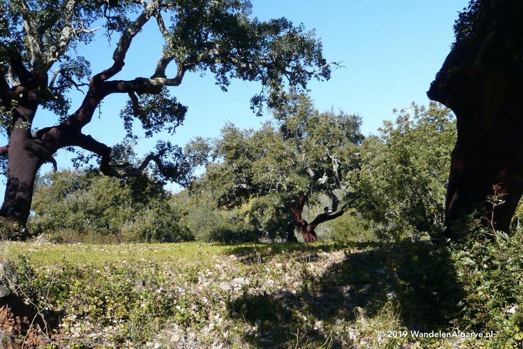
The walk starts in the hamlet of Fonte da Mesquita, which is dominated by an old well in the middle of the village roundabout. Fonte Mesquita is a walking route that introduces you to the different fossil rocks in all their colours and shades of red and grey. In the spring you will also find a variety of wild orchids in the first part of the walk. Despite a few climbs, it is not a tough walk but you really have to take time for it. The route is so varied that every photographer and botanist cannot do anything else but sponge up the different impressions of the Algarve along the way.
Starting at bed and breakfast Cas al Cubo, we have plotted a route, connecting “Fonte da Mesquita” with our home designed “Cerro do Leiria” trail. The Fonte Mesquita hiking trail is approximately six miles and starting at the B&B. The total walk will amount to 12 mile, which makes it ideal for a full day trip.